Massachusetts Winter Storm Shift: New Forecast Warns Higher Snow Totals for Suffolk, Worcester, and Hampshire Counties
A fast-moving system that delivered several inches of snow to western Massachusetts Saturday morning is only the first phase of a more impactful winter storm expected to arrive Sunday. According to updated Saturday morning guidance, the coastal storm now appears to be tracking closer to the New England shoreline, increasing snow potential for Suffolk County, Plymouth County, Bristol County, and parts of Rhode Island.
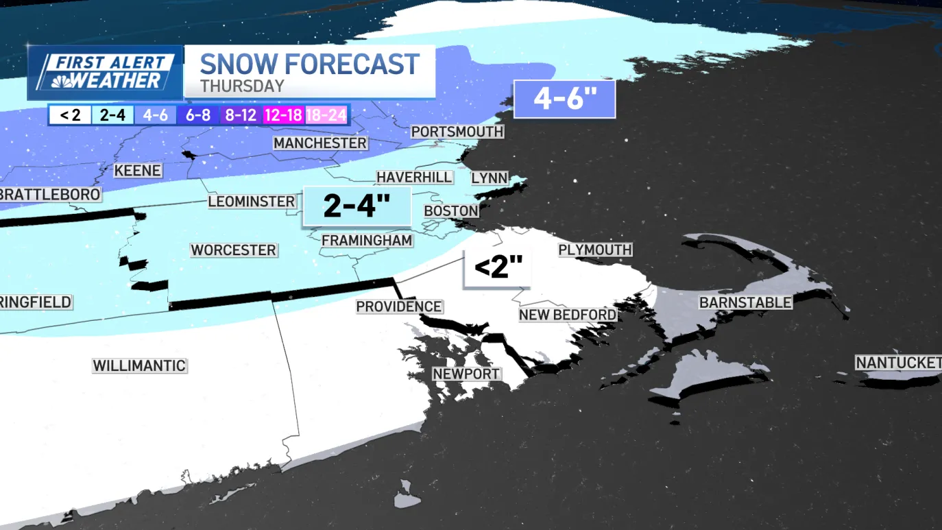
Meteorologists note that storm models within the last 24 hours have shifted, not only speeding up the storm’s arrival but also expanding the areas at risk for heavier snowfall. While accumulation amounts are still subject to adjustment, current projections indicate widespread 3–5 inches for Boston and much of southern New England, with isolated pockets reaching 5–8 inches.
Timeline: What to Expect Saturday Night Into Sunday
Saturday night will remain mostly overcast with temperatures hovering near freezing inland and in the upper 30s to low 40s along the coast. No major impacts are expected overnight beyond scattered flurries.
By early Sunday morning, the first round of snow showers will move into southern New England as the coastal storm forms offshore. This early phase will be light but steady enough to reduce visibility in areas of Worcester County, Essex County, Franklin County, and interior southern New Hampshire.
As the storm pulls closer to Massachusetts by midday, snowfall rates are expected to increase. Snow will intensify through the afternoon, particularly in areas south and east of Boston, including Norfolk County and Plymouth County.
Impact at Gillette Stadium in Foxborough
The timing of this system is significant because it aligns closely with game-day travel around Gillette Stadium. Light snow is expected at kickoff, with snow showers persisting into the second half.
Accumulation is likely during the fourth quarter, and forecasters warn that snow may become steadier as fans leave the stadium. By evening, isolated bands capable of producing 0.5–1 inch per hour may set up across southeastern Massachusetts into Rhode Island.
This could lead to:
-
Slick roads
-
Rapid accumulation in localized areas
-
Reduced visibility for drivers heading home
With temperatures in the low 30s and winds beginning to increase after dark, travel conditions could deteriorate quickly.
Where the Highest Snow Totals Are Expected
Forecasters indicate that the zone of heaviest snowfall — 5 to 8 inches or more — is most likely across southeastern Massachusetts into Rhode Island. These bands may shift depending on the exact track, which could change within the next 24 hours.
Counties most likely to see higher totals include:
-
Plymouth County, MA
-
Bristol County, MA
-
Washington County, RI
-
Newport County, RI
Meanwhile, coastal areas like Cape Cod may see lower totals due to mixing with rain as warmer air moves in from the Atlantic.
Why the Forecast Changed
The upgraded totals are tied to a shift in the storm’s projected track. Earlier models kept the system farther offshore, resulting in lighter snowfall. However, recent updates indicate the storm may hug the coastline more closely, drawing more moisture inland and supporting heavier snow bands.
This closer track also boosts wind speeds near the coast, with gusts up to 20–30 mph possible by Sunday evening.
Snowfall Breakdown by Region
-
Western MA (Berkshire, Hampden, Hampshire, Franklin Counties):
2–4 inches Saturday morning + 1–3 inches Sunday -
Boston Area & Eastern MA:
3–5 inches Sunday afternoon–night -
Southeastern MA & Rhode Island:
4–6 inches, isolated 5–8 inches in heavy bands -
Northern MA, Southern VT, Southern NH, Downeast Maine:
Up to 1 inch early + 1–3 inches Sunday
These totals will be refined as newer guidance becomes available.
Travel Concerns and Public Preparedness
State transportation crews across Massachusetts and Rhode Island are preparing for rapid snowfall during the evening hours Sunday. Reduced visibility and quick accumulation could lead to slippery roadways and highway slowdowns.
Air travel may also experience delays at:
-
Boston Logan International Airport
-
T.F. Green Airport in Rhode Island
Residents are advised to monitor local conditions closely, especially if traveling during or after the game in Foxborough.
Weather Calms for MLK Day
After snow tapers off overnight into early Monday morning, Martin Luther King Jr. Day brings calmer weather. Sunshine returns, but gusty winds and cold temperatures will keep wind chills in the 20s.
Temperatures fall again midweek with daytime highs in the 20s. Two additional storm systems are being monitored for Thursday and the following weekend, with early indications suggesting a chance of more snow across New England.
NEWS FACT TABLE
| Key Information | Details |
|---|---|
| Event | Weekend winter storm with two phases |
| Location | Massachusetts, Rhode Island, New Hampshire, Vermont, Maine |
| Date | Saturday through Sunday night |
| Who Is Affected | Residents, travelers, Boston metro area, Foxborough game attendees |
| Current Status | Snow Saturday, stronger storm Sunday with higher totals |
| What Readers Should Know | Heaviest snow Sunday afternoon–night; travel impacts likely |
FAQ SECTION
1. How much snow will Boston get?
Boston is expected to receive 3–5 inches Sunday afternoon through Sunday night.
2. Will travel be dangerous Sunday night?
Yes. Heavier bands may cause rapid accumulation, reduced visibility, and slippery roads.
3. Why did snowfall projections increase?
Storm models shifted the track closer to the coast, increasing moisture and potential totals.
4. Will the game in Foxborough be affected?
Light snow during the game, with increasing accumulation afterward impacting travel.
5. Will Cape Cod see heavy snow?
Likely not. Mixing with rain may keep totals lower than inland areas.
6. When will the storm end?
Snow tapers off after midnight into early Monday morning.
7. What’s next after this storm?
Two more potential systems are being monitored for the upcoming week.
CLOSING
New England residents should prepare for a more impactful winter storm than originally forecast, with the potential for moderate to heavy snow Sunday afternoon and evening. Because the storm track may still shift, updated forecasts will be essential over the next 24 hours. Travelers, commuters, and game-day attendees should plan for delays and hazardous conditions into Sunday night.