Extreme cold has settled over Middle Tennessee, bringing another morning of temperatures in the teens and low 20s. Despite bright sunshine across the region, the forecast shows very little improvement throughout the day.
High temperatures will struggle to climb into the mid-30s this afternoon, but wind chills will make it feel significantly colder. Forecasters say most communities will experience “feels-like” temperatures in the 20s through much of the day.
Overnight conditions will be even colder, with lows once again dipping back into the teens and 20s. The frigid stretch is expected to continue for several more days as Arctic air remains firmly in place.
This prolonged cold matters because it increases risks for icy travel, frozen pipes, and health hazards for anyone exposed outdoors for extended periods.
Arctic Air Mass Deepens Across Middle Tennessee
Middle Tennessee is facing another day of harsh, bitter cold as an Arctic air mass remains locked over the region. Temperatures early Monday started in the upper teens and low 20s across Nashville, Clarksville, Murfreesboro, and surrounding counties. Even areas farther south and west, which typically warm faster, remained well below freezing through sunrise.
Meteorologists say the cold is unusually persistent for this time of year, driven by strong northern winds and clear skies that allow heat to escape rapidly at night. Despite abundant sunshine expected today, temperatures will rise only marginally before dropping sharply again after sunset.
Wind speeds between 10 and 20 mph are keeping wind chills much lower than actual air temperatures. This combination of cold air and steady wind can make outdoor conditions feel more dangerous, particularly during the morning and evening hours.
Timeline: What to Expect Over the Next 48–72 Hours
Monday Morning
Temperatures open in the teens and 20s, with wind chills as low as the upper single digits in some rural areas. Frost and ice remain on vehicles, rooftops, and shaded surfaces.
Monday Afternoon
Highs rise into the mid-30s under full sunshine. Despite the sun, wind chills stay in the 20s due to persistent northerly winds.
Monday Night
Clear skies cause another rapid temperature drop. Lows fall again into the teens and 20s, especially outside the Nashville metro area.
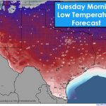
Tuesday
Another cold day expected. Temperatures reach only the mid-30s to near 40. Winds begin to weaken slightly, but wind chills remain below freezing.
Wednesday and Thursday
Gradual but slow warming trend begins. Highs remain cool in the upper 30s and low 40s before improving slightly late in the week.
National Weather Service Issues Continued Cold Alerts
The National Weather Service (NWS) continues to highlight extreme cold risks in its forecast discussions. While not all counties are under formal advisories, NWS meteorologists emphasize that prolonged exposure can be dangerous, especially for vulnerable groups.
The agency warns that:
- Frostbite can occur on exposed skin within 30 minutes in wind chills near or below 10 degrees
- Pets, livestock, and outdoor animals require additional protection
- Pipes may freeze overnight without proper insulation
- Black ice remains possible in shaded and untreated areas
Local emergency management officials urge residents to continue monitoring updates, check heating systems, and avoid long outdoor exposure unless necessary.
Communities Respond to Days of Freezing Weather
Public reaction across Middle Tennessee reflects growing concern about the length and severity of the cold stretch. Residents have reported frozen pipes, malfunctioning heat pumps, and persistent frost on vehicles.
Some school districts have monitored conditions closely but remain open, as major roadways have stayed clear. However, rural areas with limited sunlight still report icy patches, especially on bridges and secondary roads.
Shelters in Nashville and surrounding counties have extended hours to accommodate individuals seeking warmth. Local non-profits report increased demand for blankets, warm clothing, and temporary lodging assistance.
Utility companies across the region continue to monitor power loads as heating demand remains high. So far, there have been no widespread outages, but officials warn that any equipment failure during extreme cold can lead to rapid service disruptions.
Why This Cold Pattern Is Lingering
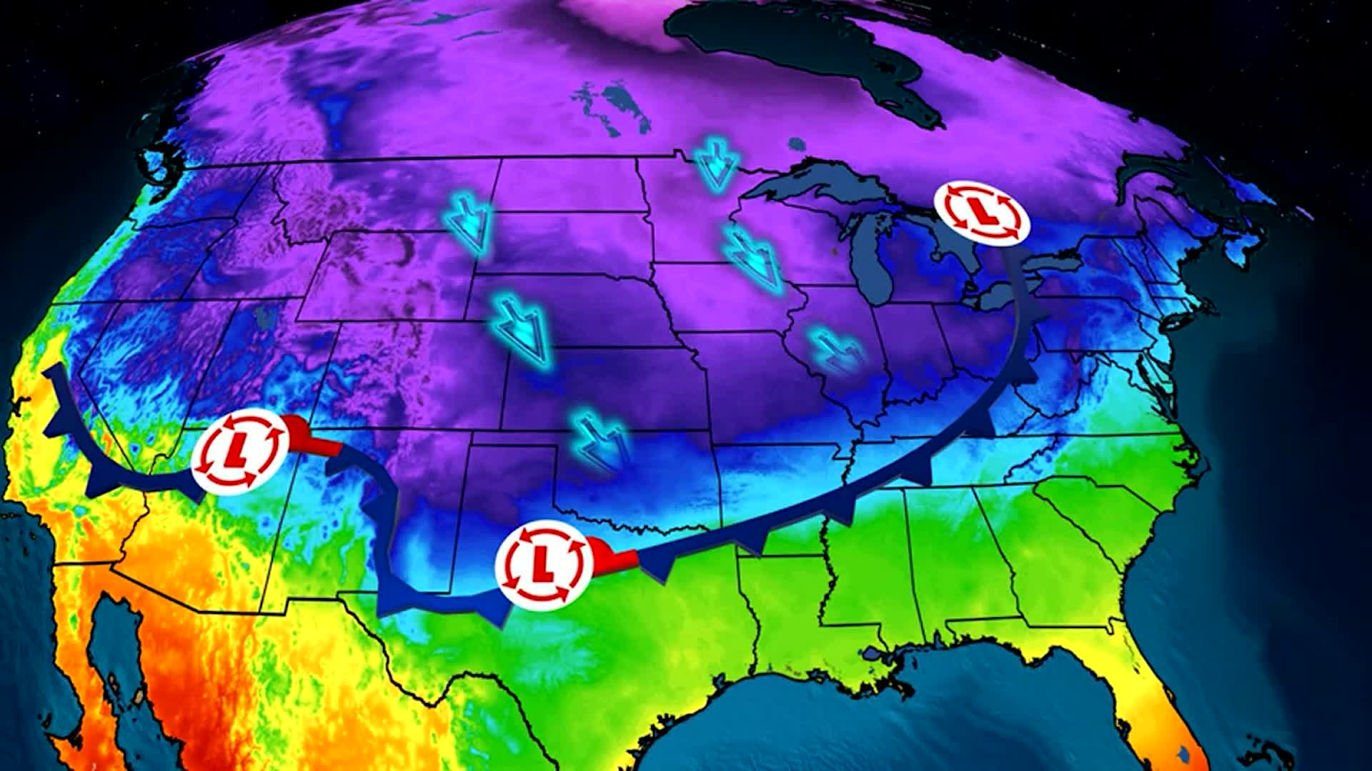
Meteorologists explain that this cold pattern is caused by a deep Arctic trough that has dipped into the southeastern United States. This weather setup funnels cold air southward and keeps temperatures from warming even during sunny afternoons.
Clear skies, while normally associated with warmer daytime conditions, can also lead to dramatic nighttime cooling. As soon as the sun sets, temperatures drop quickly because there is no cloud cover to trap heat.
This pattern is expected to hold for a few more days before a gradual warmup begins later in the week. However, nighttime temperatures may remain below freezing even as daytime highs improve.
Impacts on Travel, Infrastructure, and Daily Life
The continued cold affects multiple sectors:
Transportation
Even though main highways are clear, black ice remains possible in shaded areas and on rural roads. Morning drivers are advised to slow down and leave extra distance.
Home Plumbing
Frozen pipes have been a recurring issue in homes with poor insulation. Plumbers report increased calls for burst pipe repairs, and property owners are encouraged to drip faucets overnight.
Heating Systems
Prolonged use can stress HVAC units, especially older systems. Homeowners are urged to check filters, keep vents clear, and avoid setting thermostats too high.
Health Concerns
Cold exposure can lead to frostbite or hypothermia. Experts recommend layering clothing, covering hands and ears, and limiting outdoor exposure.
What Happens Next: When Will the Cold End?
Forecasters expect the extreme cold to linger through midweek before slowly easing. Daytime highs may climb into the low 40s by Thursday or Friday, but overnight lows are likely to stay below freezing until the weekend.
A weak system could bring clouds and slightly warmer air late in the week, helping to moderate temperatures. However, no significant warmup is expected immediately.
Residents should continue cold-weather precautions for at least several more days.
NEWS SUMMARY TABLE
| Key Info | Details |
|---|---|
| Event | Extreme cold grips Middle Tennessee |
| Location | Middle Tennessee (Nashville, Clarksville, Murfreesboro, surrounding counties) |
| Date | Ongoing this week |
| Who Is Affected | Drivers, homeowners, schools, outdoor workers, vulnerable populations |
| Current Status | Highs only in the mid-30s; lows in the teens and 20s |
| What Readers Should Know | Wind chills make temperatures feel colder; cold persists for several days |
FAQ SECTION
1. Why is Middle Tennessee so cold right now?
An Arctic air mass has moved into the region, keeping temperatures unusually low.
2. How long will the extreme cold last?
Several more days, with a gradual warmup expected later in the week.
3. Will temperatures stay below freezing overnight?
Yes, lows will remain in the teens and 20s each night.
4. Are wind chills dangerous?
Wind chills can make it feel 10–15 degrees colder, increasing frostbite risk.
5. Will schools close due to the cold?
Most schools remain open but continue monitoring conditions.
6. Could pipes freeze again tonight?
Yes. Residents should insulate pipes or let faucets drip overnight.
7. When will daytime temperatures rise above 40 degrees again?
Possibly by late week, depending on cloud cover and wind direction.
Middle Tennessee remains locked in a stretch of extreme cold, with highs barely reaching the mid-30s and overnight lows slipping into the teens and 20s. Residents should continue taking precautions, monitor local forecasts, and stay aware of changing wind chill conditions through the coming days. Forecasters will provide updates as another round of cold air approaches or if any advisories are issued.


Leave a Comment