Another Cold Blast Targets Kansas City, MO: Multiple Freezing Nights Ahead for Jackson, Clay, Platte and Cass Counties
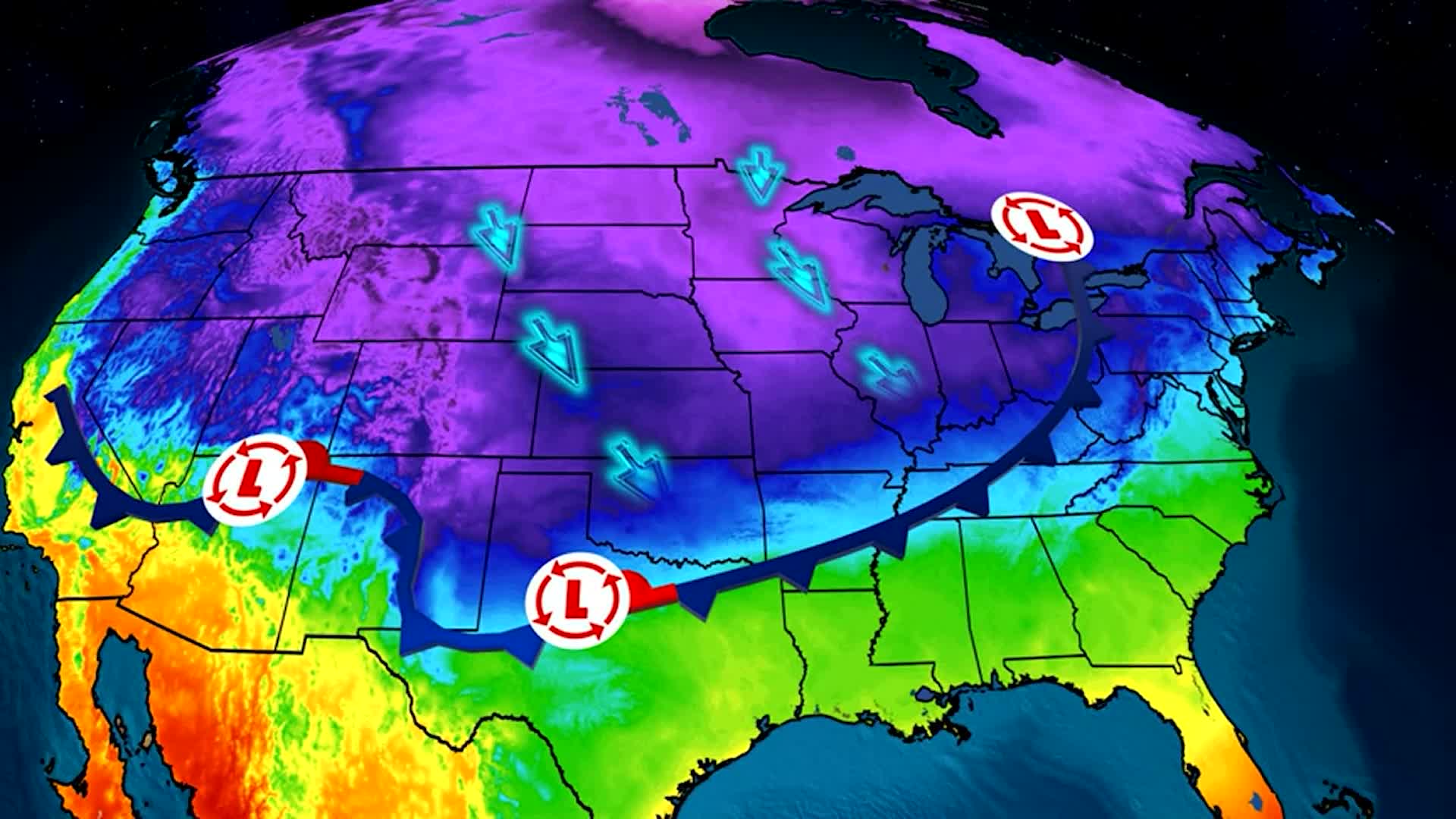
A new burst of arctic air has arrived, reinforcing the cold pattern that has dominated the region in recent days. The latest cold front moved through with little moisture, but it brought strong winds and a significant temperature drop. The result will be a stretch of bitterly cold nights and brisk days, particularly at the start of the workweek.
Forecasters say that while snowfall would typically be possible behind a January cold front, atmospheric moisture levels have dropped too quickly. Most of the moisture exited the area before temperatures cooled enough to generate accumulation.
Light Flurries Still Possible, But Not Expected to Be Noticeable
Residents hoping to see light snow tonight will likely be disappointed. Meteorologists note that although a few flurries could develop after sunset, they would be scattered and faint. The air behind the front is dry enough that any flakes entering the lower atmosphere may evaporate before reaching the ground.
Even if snow does fall, it is not expected to produce accumulation or travel impacts. Roads remain dry, and no winter weather advisories are anticipated.
Temperatures Drop Into the Upper 20s Tonight
The main story is the cold. Temperatures are expected to fall into the upper 20s overnight, with wind gusts between 15 and 20 mph making it feel even colder. These conditions will persist into early Monday morning, prompting concerns about frost, frozen pipes, and cold-sensitive plants.
The sky will clear before sunrise, allowing for a bright but chilly start to the day. Sunshine will help warm the afternoon, but highs will only reach the upper 40s, and the wind will keep the air feeling cooler.
Two Consecutive Freezing Mornings to Start the Week
Monday and Tuesday morning are expected to dip below the freezing mark, with lows between 27 and 30 degrees. These back-to-back freezes will affect rural areas more intensely, where temperatures typically fall a few degrees lower than in urban zones.
Agricultural experts warn that prolonged sub-freezing temperatures can damage early-blooming vegetation. Pet owners are also advised to bring animals indoors, and residents should be cautious about leaving vehicles outside without proper winterization.
Winds Make Chilly Days Feel Even Colder
The early workweek will feel colder than the thermometer suggests. Gusty winds between 15 and 20 mph will create wind chills in the low 20s during the early morning hours. Daytime wind chills will remain in the 30s, despite the sunshine.
These breezy conditions are typical after a strong cold front clears the region, as high pressure builds in and accelerates surface winds. Forecasters expect winds to gradually weaken midweek as temperatures begin to moderate.
Midweek Pattern Shift: More Clouds, Higher Temperatures, and Rain Chances
By Wednesday, the weather pattern begins to shift. While temperatures will still start cold, daytime highs should begin climbing into the 50s. Clouds will increase throughout the day as moisture returns from the south.
A few isolated showers may develop Wednesday afternoon or evening, but the more significant rain is expected overnight and into Thursday. A nearby low-pressure system will help draw in warmer air and deepen moisture levels, bringing widespread rainfall.
At this time, meteorologists do not expect thunderstorms or severe weather, and the system appears to be mostly a rain-producer without lightning threats.
Late-Week Warm-Up: Highs Return to the 70s
Following Thursday’s rain, temperatures are forecast to rise steadily. By Friday, highs may reach the upper 60s or even low 70s in some areas, marking a dramatic shift from the early-week cold.
Overnight lows will also increase, moving from the 20s and 30s into the 40s. Skies should partially clear by late Friday, leading to a warmer, more comfortable end to the workweek.
Public Reaction
Residents across social media are expressing mixed reactions. Some welcome the colder temperatures after an unusually warm start to winter, while others dread the freezing mornings and potential impacts on their commute.
Local utility companies have already reported increased heating usage and are urging customers to monitor thermostats and check for drafts in older homes.
What Residents Should Prepare For
The early-week freeze poses typical winter risks: frozen pipes, slick spots in shaded areas, and stressed vegetation. Homeowners are encouraged to run taps slowly overnight, cover outdoor faucets, and protect plants sensitive to cold snaps.
Drivers should also expect frost on windshields and plan extra time for morning travel.
NEWS SUMMARY TABLE
| Key Detail | Information |
|---|---|
| Event | Strong cold front bringing sub-freezing temperatures |
| Location | Regional forecast area (U.S.) |
| Date | Tonight through end of the workweek |
| Who Is Affected | Residents, commuters, homeowners, pet owners |
| Current Status | Cold nights now, warmer and wetter mid-to-late week |
| What Readers Should Know | Expect freezing mornings, windy conditions, rain by Wednesday–Thursday, warm-up by Friday |
FAQ SECTION
1. How cold will it get tonight?
Temperatures will fall into the upper 20s, with wind chills in the low 20s.
2. Will it snow tonight?
A few flurries are possible, but accumulation is not expected.
3. How long will the freezing temperatures last?
At least two mornings in a row will drop below freezing before temperatures rise midweek.
4. When is the next chance of rain?
Light showers are possible Wednesday, with heavier rain arriving Wednesday night into Thursday.
5. Will there be thunderstorms or severe weather?
No. Forecasters say the midweek system brings rain but not thunderstorms.
6. When will temperatures warm back up?
Highs should return to the 60s and 70s by Friday.
7. Should homeowners take precautions?
Yes. Protect pipes, plants, and outdoor equipment during freezing mornings.
CONCLUSION
The region is entering another round of cold, breezy weather as a fresh front pushes temperatures back below freezing. While snow remains unlikely, the next two mornings will be the coldest of the week. Conditions will begin to shift by midweek as moisture increases, bringing rain and a steady warm-up into the 70s by Friday.
Officials recommend monitoring updated forecasts and preparing for both freezing overnight lows and a transition to wetter weather later in the week.