Snow Watch for 50+ Georgia Counties: Atlanta, Bibb, Muscogee, and North Georgia Brace for Uncertain Weekend Storm
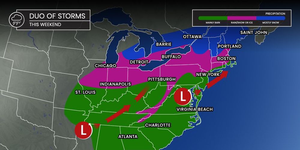
Georgia is officially on snow-watch this weekend, and meteorologists say nearly the entire state could see anything from a dusting of flurries to several inches of accumulation. The challenge: no one knows exactly where the heaviest snowfall will land.
The National Weather Service in Peachtree City has issued what it calls a “low-confidence forecast,” meaning the exact storm track remains highly uncertain. Even a 50-mile shift in the storm’s path could dramatically change conditions for metro Atlanta, central Georgia, and portions of northern counties.
Despite the uncertainty, forecasters are urging residents to stay alert. Multiple systems are expected to sweep through Georgia between Friday night and Sunday, bringing cold air, moisture, and the potential for snow or a wintry mix in several regions.
With the entire state from Columbus to Savannah and from Atlanta to the North Georgia mountains under watch, the question now is not whether Georgia will see winter weather—but where.
Georgia Braces for a Highly Uncertain Winter Storm
A complex weather pattern is setting up across Georgia, and forecasters say it’s one of the most difficult winter scenarios to predict. The National Weather Service (NWS) office in Peachtree City reports that several competing systems are creating what they describe as “high volatility” in the forecast models.
Senior meteorologist Dylan Lusk explained that snowfall totals—and even the presence of snow at all—depend heavily on the exact placement of the incoming low-pressure system. Small shifts could drastically reshape weather impacts across the state.
Counties most closely monitored include:
- Metro Atlanta counties: Fulton, DeKalb, Cobb, Gwinnett, Clayton
- Central Georgia counties: Muscogee (Columbus), Bibb (Macon), Houston, Peach
- North Georgia counties: Hall, Forsyth, Cherokee, Gilmer, Union
- South Georgia counties: Lowndes, Colquitt, Thomas
As of the latest outlook, anywhere from minimal flurries to several inches of snow remains possible depending on the storm track.
How the Storm Track Impacts Georgia
The upcoming weather event hinges on the position of the low-pressure system. The NWS outlined two key scenarios that could unfold:
Scenario 1: Storm Tracks 50 Miles South
If the center of the system slides farther south:
- Central Georgia (including Macon and Columbus) may see only light snow or flurries
- Heavier snow would shift into South Georgia and move toward the southern edge of the Atlanta metro
- Accumulations would be limited
Scenario 2: Storm Tracks 50 Miles North
If the storm moves just slightly north:
- The Atlanta metro (Fulton, Cobb, Gwinnett, DeKalb) could see “decent snow”
- Additional accumulation would spread across central counties
- North Georgia could receive heavier totals due to higher elevation
This narrow margin of error makes forecasting extremely challenging.
Timeline: When Georgia Is Most Likely to See Snow
Friday Night – Early Saturday
A cold front moves into the state.
- Light precipitation possible
- Temperatures drop statewide
- Rain may transition to a brief wintry mix in higher elevations
Saturday Night – Sunday
The primary system moves across the Southeast.
- Potential for snow or mixed precipitation
- Heaviest activity likely between late Saturday evening and Sunday morning
- Accumulations depend entirely on storm track
Sunday Afternoon
Cold air lingers.
- Moisture decreases
- Flurries may persist in North Georgia
- Roads in elevated counties could see minor icing
Official Statements from the National Weather Service
Senior meteorologist Dylan Lusk emphasized the unusual uncertainty in this forecast. “Small changes in the track will have major impacts,” he said. “The entire forecast hinges on where the low-pressure system ultimately sets up.”
The NWS issued the following key points:
- “Low confidence” forecast
- Potential winter storm impacts statewide
- Meaningful accumulation limited but not ruled out
- More accurate details expected by late Friday
Officials note that due to the volatile model trends, certain snow totals and precise impact reports may not be available until the day of the event.
Public Reaction Across Georgia
Residents across the state have expressed cautious optimism online, especially in regions where snow is rare. On social media, discussions have spiked in counties like Bibb, Muscogee, and Chatham, where snowfall is often limited or short-lived.
Parents and teachers in multiple school districts are monitoring the situation closely, although no widespread closure announcements have been made.
Drivers, particularly in the Atlanta metro and North Georgia mountains, are preparing for potential road impacts given the possibility of freezing temperatures overnight.
What Happens Next
Meteorologists will continue monitoring updated model runs and temperature trends through Friday. The NWS plans to issue more precise snowfall projections once the storm’s center becomes better defined.
Travelers should be prepared for rapidly changing conditions, especially during the Saturday night to Sunday morning window.
Georgia officials recommend having basic winter supplies on hand, including:
- Ice scrapers
- Flashlights
- Extra blankets
- Vehicle fuel above half a tank
While significant accumulation isn’t guaranteed, even light snow can create road hazards if temperatures fall below freezing.
KEY FACT SUMMARY TABLE
| Category | Details |
|---|---|
| Event | Potential winter storm with snow and wintry mix |
| Location | Entire state of Georgia, including Atlanta, Macon, Columbus |
| Date | Friday night through Sunday |
| Who Is Affected | All Georgia counties; highest uncertainty in central and northern regions |
| Current Status | “Low confidence” forecast; storm track still shifting |
| What to Know | Small track changes could dramatically alter snowfall amounts |
FAQ SECTION
1. Will it snow in Georgia this weekend?
Possibly. Snow is possible statewide, but totals depend entirely on the storm track.
2. Which areas could see the most snow?
If the system shifts north, Atlanta and central Georgia could see measurable snow. If it shifts south, areas near Columbus and South Georgia may see more activity.
3. When is snow most likely to fall?
Late Saturday night through Sunday morning appears to be the peak window.
4. How much snow is expected?
Meaningful accumulation is limited, but several inches are possible in localized areas depending on storm track.
5. Why is confidence so low?
The forecast depends on small changes in the storm’s path—just a 50-mile shift could greatly alter impacts.
6. Will roads be dangerous?
Potentially. Even light snow can create slick spots if temperatures fall below freezing.
7. When will we know more?
Meteorologists expect more accurate details by late Friday.
Georgia is entering a period of high weather uncertainty as a developing system approaches the Southeast. While confidence remains low, the potential for snow or a wintry mix exists statewide. Residents should stay alert for updated forecasts, prepare for possible travel disruptions, and monitor National Weather Service alerts throughout the weekend.
The next major updates will focus on storm track shifts, snowfall potential, and local advisory changes across Georgia counties.