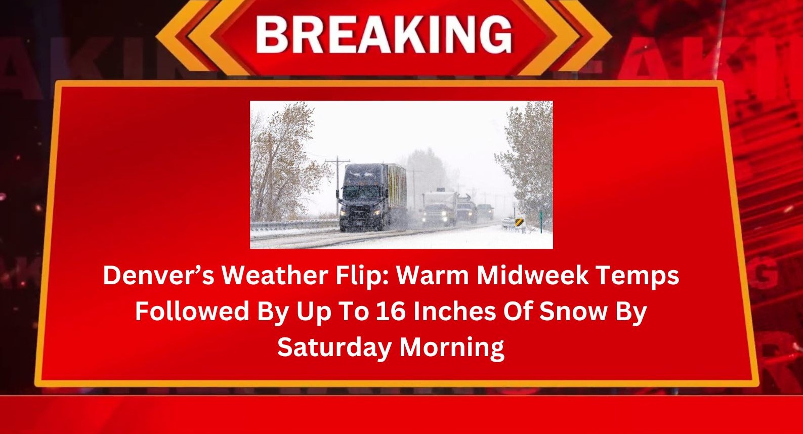
Denver’s Weather Flip: Warm Midweek Temps Followed By Up To 16 Inches Of Snow By Saturday Morning
Denver citizens should be in for a rollercoaster as winter suddenly reappears in mid-April. Just when it finally seemed that spring had arrived, the National Weather Service issued a Winter Storm Watch for Colorado with as much as 16 inches of snow in the mountains by Saturday morning.
If you’ve been enjoying Denver’s sunny skies and unseasonably warm temperatures lately, consider this your final warning to soak it up while it lasts. Wednesday and Thursday will tease us with highs in the upper 70s and low 70s more than 15 degrees above average before a dramatic cold front swoops in and reminds us that the Rocky Mountain springtime always comes with surprises.
Here Comes the Cold Front
Weather forecasters say that this unexpected cold front will start sneaking into Colorado late Thursday afternoon, between 3 and 8 p.m. In shoving us out of the north, our dry, warm air will be quickly replaced by rain and cooler air. Initially, it may start as rain and maybe some thunder rumblings. But don’t get complacent snow is expected to roll in by Thursday evening, particularly in the mountains.
The rain ought to change to snow late Thursday night into the middle of the night, and there will be occasional snow showers during Friday and into the early part of Saturday morning. Most of the snow in the Denver metro area should be winding down around noon Saturday, with a few inches of slush remaining, mostly on cold surfaces such as grass, roofs, and vehicles parked outdoors.
Who’s Getting What?
While Denver proper will see 2 to 4 inches of the white stuff, it will be arriving elsewhere in the ‘burbs. The high country and middle hills are in line for the biggest whack, where 6 to 12 inches are on the table and in some far-out, high-country spots, totals reach nearly as much as 16 inches. The Palmer Divide and Denver’s west and south foothills will also receive 4 to 8 inches or more, particularly if heavy and wet, that can lead to tree damage with broken limbs.
Impacts and Travel Conditions
Fortunately, as long as the ground still retains heat from last week’s sun, extensive travel issues are not expected at least in lower elevations. The snow may perhaps not fall heavily on roads, at least in daylight. But drivers need to use care, particularly Thursday evening and early Friday morning and on passes, where road surfaces may be icy and visibility poor.
Mountain altitudes pose another problem altogether. Roads 9,000 feet and up will be blocked with snow, and visitors to resorts in mountains or traveling over central high country need to be attuned to weather forecasts and reschedule plans when weather threatens.
Fire Danger Before the Freeze
Surprisingly, the state is already under severe fire danger before the snow even occurs. There was a Red Flag Warning Wednesday for south Colorado due to dryness and strong winds. A Fire Weather Watch is also issued for the eastern plains on Thursday due to expected wind gusts of 20-40 mph and ongoing dryness.
This kind of dramatic reversal from wildfire risk to blizzard is not uncommon in Colorado’s spring, but it’s a reminder of how unstable the weather can be in the state during April.
The Week Ahead: Cold, Then a Rebound
Here’s what the weather has in store:
- Wednesday: Partly sunny and windy, high of 77°F. Some scattered showers may creep into foothills or Palmer Divide later in the day.
- Thursday: Warming up first, high of 74°F, but winds will be getting humongous. Rain and possibility of thunderstorms late afternoon or evening, suddenly turning to snow tonight. Low of 30°F.
- Friday: Cold snowy day with highs of only 37°F. Snow should continue all day, particularly over the foothills and mountains.
- Saturday: Snow dies off by noon, with clouds beginning to clear. Chill high of about 45°F.
- Easter Sunday: Just in time for Easter celebrations, the sun comes breaking through. Temps revert to comfortable 62°F under partly cloudy skies.
- Monday & Tuesday: The warming trend continues through next week, with highs back in the upper 60s and low 70s.
So is the final hurrah of this winter at last behind us? In Colorado, you can’t be certain. But this much’s for sure: This last-minute snow storm may be bringing some much-needed water to the state and most particularly the mountains and keeping us in mind that Denver spring is always an if-things-go-their-way kind of thing.
Whether you’re making Easter holiday reservations, hitting the slopes, or simply commuting to the office, it doesn’t hurt to be in tune with the weather for the next 48 hours. Charge up those cell phones, fill up those snow brushes, and always layer up. You’re likely to need a t-shirt, parka, and potentially snow shoes in 48 hours. Home sweet Colorado, April!